Satellite telemetry beacon
Data beacons from amateur and small research satellites, reporting their health: battery, temperatures, and so on.
What does it sound like?
Short data bursts (like packet radio's buzz) or a steady tone, sliding in pitch during the pass.
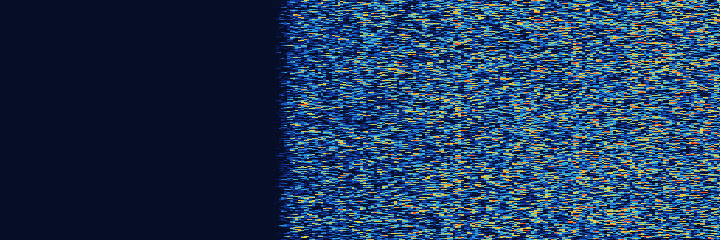
12.0-second example. Telemetry from the BY70-1 amateur satellite. Recording: satellite-recordings collection, Daniel Estévez (Unlicense, public domain).
Who uses it?
Amateur radio satellites and university CubeSats.
Where and when can I hear it?
Mainly 145.8-146 MHz and 435-438 MHz, during passes of a few minutes. The pitch drifts as the satellite moves (the Doppler effect).
The science
A telemetry beacon is a satellite's automatic status report: it samples sensors such as battery voltage and temperatures, packs the readings into short data packets and transmits them on a schedule. Many small satellites use AX.25, the same packet format as ground packet radio, often at 1200 bits per second with audio tones; one CubeSat, for example, sent a 1200 bit-per-second packet on 437.438 MHz every 30 seconds. The pitch slides because the satellite moves toward and then away from you (the Doppler effect). For FM satellites with downlinks near 436 MHz, AMSAT's beginner guide advises starting about 10 kHz above the published frequency and following the signal down to about 10 kHz below it by the end of the pass.
Why use it?
Beacons let a satellite's builders, and anyone listening, check its health on every pass. To keep amateur satellites from interfering with one another, the International Amateur Radio Union coordinates their frequencies in amateur-satellite allocations such as 145.8-146 MHz and 435-438 MHz.
Lore
Telemetry is as old as amateur satellites. OSCAR 1, launched December 12, 1961, carried a beacon that let ground stations measure the satellite's internal temperature, and radio operators in 28 countries heard its Morse HI HI; the Smithsonian says it was built for only 63 dollars. The CubeSat standard, 10 centimeters per side, was created in 1999 by Jordi Puig-Suari of Cal Poly and Bob Twiggs of Stanford as a teaching tool, and its standard sizes made student satellites relatively simple and affordable.
Easily confused with
- Weather satellite pictures (APT), from the same family